Via Indipendenza 106 46028 Sermide MN Italia
Tel: +39 0386 62628 - 335 8016848
Fax: +39 0386 960248
info@geogra.it
www.geogra.it
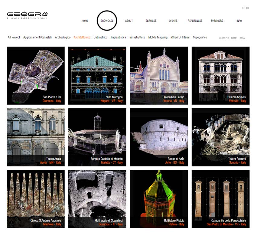
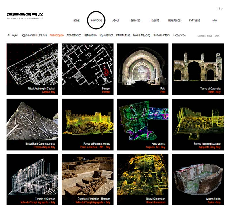
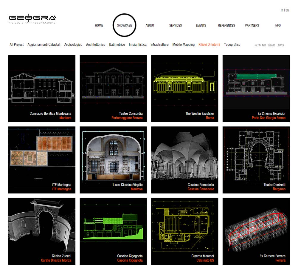
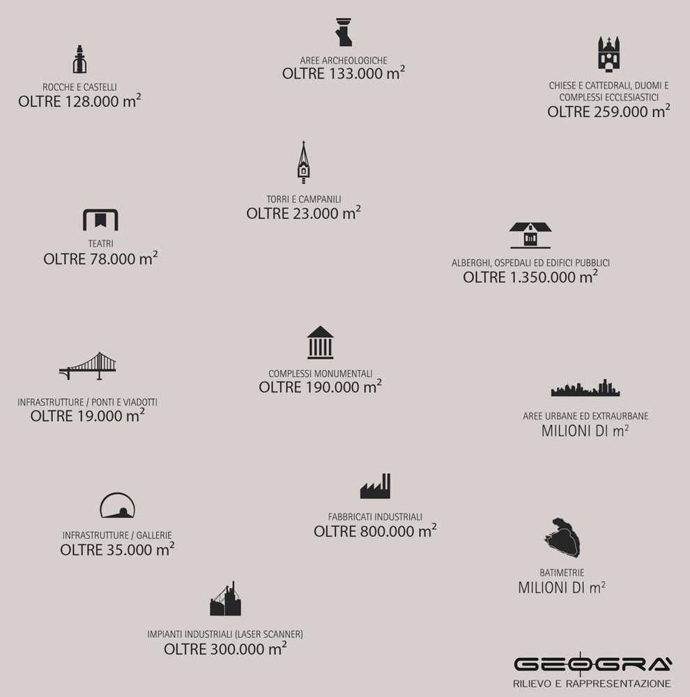
3D Laser Scanning (Architectural, Archeology, Infrastructures, Industrial). Archeometry. Stereophotogrammetry Photogrammetry Ortophoto. Topography and GPS. Bathymetry. Traditional Surveys. Graphic and Photographic information processing.
SOA Certifications:
| Certificato | Classe |
|---|---|
| OS 20-A Rilevamenti topografici | II fino a euro 516.000 |
| OS 20-B Indagini geognostiche | II fino a euro 516.000 |

